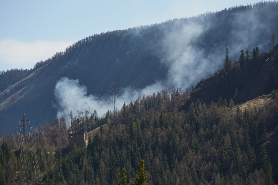
Every construction project has an impact on the local environment—most immediately on the lot where the project is situated. One important—and very direct—impact is on the trees that share the lot. A big project may threaten the viability of thousands of trees if the builder isn’t careful to locate building infrastructure far enough from critical root zones.
Campus building and landscape planners at Indiana University have a new tool to help map out construction projects to manage the institution’s rapid growth while respecting its abundant trees and shrubs. The IU Landscape Services office has commissioned a data-rich, interactive map of all of the trees on the main campus in Bloomington, Indiana, a small city about an hour south of Indianapolis.
Trees matter at IU. The 200-year-old university prides itself on its magnificently wooded Bloomington campus, considered one of the most-cited reasons students attend IU. Trees can also matter to commercial projects.
Consider the corporate headquarters the pharmaceutical giant Merck & Co. built in rural New Jersey in 2001. Wanting to establish a friendly, unobtrusive presence for its 1,900 employees at the time, Merck built its 900,000-square-foot hexagonal building in the middle of a 460-acre forested site.
Instead of bulldozing 20 acres of trees, the company paid foresters to move 1,300 mature American beech, white oak, red maple, red cedar, hawthorn, dogwood, shadblow, wild pear, sassafras, black walnut and black gum trees to an on-site nursery. Merck paid to replant the trees when the building was finished.
Three-month tree-inventory system project
IU has been growing rapidly, sprawling across the city and sprouting new buildings on the main campus. The campus closed to students in March because of the COVID-19 pandemic, with many planned construction projects on hold. But when building resumes, architects and engineers will be able to see, in great detail, where their projects will intersect with the campus’ forest resources.
According to Hannah Gregory, the IU Sustainability environmental practices coordinator who oversaw the tree inventory, the data gathering involved two people, inventorying 12,734 trees over approximately three months. The effort produced two different interactive maps: one for public consumption and another strictly for secure access by campus planners. At that rate, the inventory could provide a practical model for both large- and modest-scale construction projects where preserving the adjoining trees is a priority.

IU’s public map enables students, visitors and anyone else with an interest in the campus environment, to see what trees are on campus, how many and what varieties (species common name), as well as the size, trunk circumference and condition of each tree. The map lists 10 different tree species, which are differentiated graphically as colored dots.
“A lot of people decide to come to IU because of the way it looks,” Gregory said. “People often ask where particular tree species can be found on campus.”
The private map includes deeper and more confidential data—approximately 20 data points for each tree—with layers that are more useful to planners and landscapers, such as more detailed data on tree condition and required maintenance, critical root zones for the trees and the locations of buildings and sidewalks that could encroach on those zones. The more detailed map includes tree maintenance data and “hotspots”—trees that have utility conflicts, for example.
“It enables more detailed analysis than the public map allows,” Gregory said.
Both underground and overhead utilities, such as power lines, as well as sidewalks and other impervious surfaces, can affect tree health. “The university architects are planning to use the map to better inform how trees can be protected during construction projects,” Gregory said.
A data gap
The first IU tree inventory was completed in 2016. Prior, the university had virtually no data on its trees. “Obviously, that was an issue, considering how often construction projects resulting in tree loss or damage that could have been avoided,” Gregory said.
Gregory and her colleague, Conor Nolan, began working on the inventory at the end of the summer of 2019. They worked with IU Campus Facility Operations and Capital Planning, collaborating with the university’s GIS analyst, Dana Bissey, to map the relevant campus infrastructure features. To gather data, they used ArcGis Collector, a feature of the ArcGIS enterprise mapping system, on iPads.

“We would just walk up to each tree, create the data point and fill out the data fields,” Gregory said, “and it would update the map online.”
Bloomington is the hub of the statewide network of seven IU campuses. Gregory and her collaborators have encouraged counterparts at the other campuses to leverage what they have created for Bloomington. “Last fall, I went to the IU Sustainability Summit, where people interested in campus sustainability come to discuss goals for the upcoming year,” Gregory said. “One of the primary goals was to get every IU campus to do a tree inventory.”
Sensitive infrastructure
The ArcGIS system is shared by the university’s capital planners, the campus landscape architect, horticulturists and arborists and other stakeholders with access to the capital planning resources. Access to the private map is strictly limited to protect data on sensitive infrastructure, particularly given the university’s involvement in federal research, including work with national security implications.
Trees provide more than just scenic beauty. Their value as providers of oxygen, animal habitat, shade and, in some cases, edible fruit can all be quantified. Gregory and her collaborators have investigated the use of i-Tree, a free online resource from the USDA Forest Service that calculates the benefits provided by a forest or even by each tree. Gregory is hoping to update the public map to highlight the trees producing edible fruits on campus.