For the many design and construction professionals whose work is the built environment—whether in micro-homes or world-class stadiums—Bluebeam Revu is an invaluable tool.
But there are some Revu users whose work is to study how those who came before us designed and constructed—namely, archeologists. And you may be surprised to learn that, just like for architects and builders, they’re finding Revu to be an extremely useful tool.
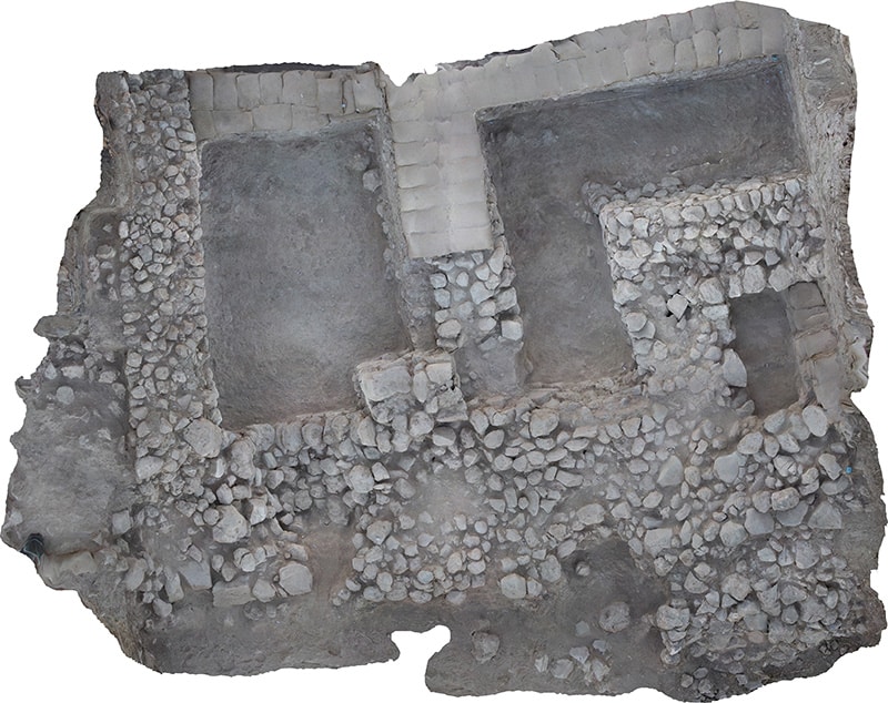
Lyndelle Webster, a Ph.D. student at Macquarie University and the University of Vienna, is one such user. An engineer and archeologist originally from Australia, Webster is currently working on a fascinating excavation project in Tel Lachish, Israel, “Tracing Transformations in the Southern Levant.” The project is funded by the Austrian Science Fund at the Austrian Academy of Sciences and the Hebrew University of Jerusalem.
Now a largely rural and unremarkable expanse of lowlands in South Central Israel called the Shephela, Tel Lachish is significant from an archeological perspective because it has helped researchers verify and dispel certain historical narratives. The area features settlement layers of the Middle and Late Bronze Ages and serves as a case study for this crucial period of Southern Levantine archaeology.
Verifying the pharaohs
There’s long been a debate between traditional sorts of archeology-based dating methods—those using pottery and artifacts like that—vs. more scientific methods, like radiocarbon dating. In particular, there’s been some debate concerning an eruption of a volcano on Santorini island in the Aegean.

“It occurred around 1600 B.C.,” Webster said, “and that’s important because it’s a point in time where we try and synchronize what was going on—what was happening in Egypt; what was happening in Israel-Palestine; what was happening in Turkey; what was happening in Greece—and try and put things together in what order things happened in and what things are contemporary with.”
“In the period we’re studying,” Webster continued, “Egypt was very strongly involved in Israel-Palestine. There basically was a big problem within the Empire, so to speak. And the texts that talk of it mention some of the cities, and one of them mentions our site by name, Lachish. It’s the first time it’s mentioned and we know which pharaoh that dates to. The problem was that the last excavations at the site didn’t have any evidence that there was a city at that time. And so, one of our contributions is that we went and verified the city as well as the chronology.”
In other words, Webster and her team are verifying the pharaohs.
Digitizing mapping
Webster noted that there are a number of other excavations doing similar things, but not many of them are using digital tools in the field. Instead, they’re updating drawings by hand once every few weeks.
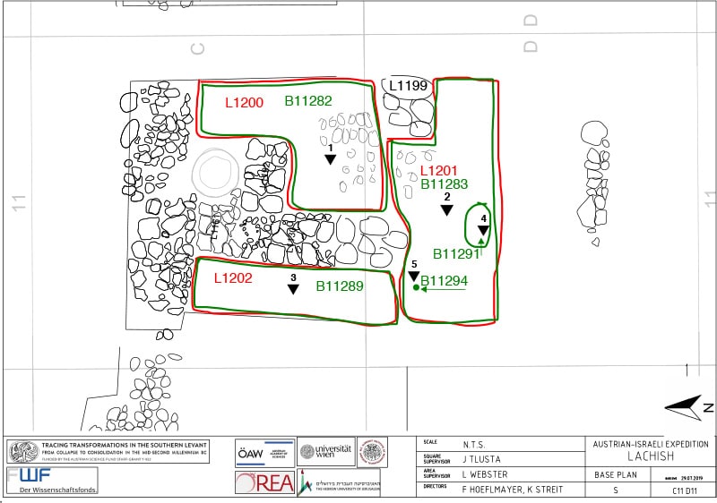
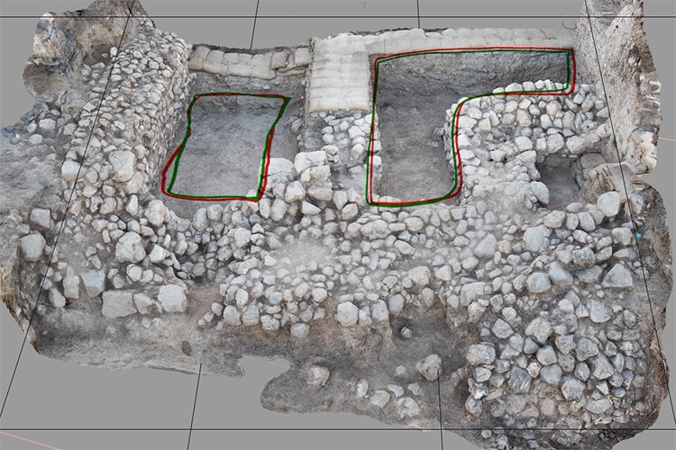
Webster said that her group wanted to have daily plans, where every day when you’re in the field, if you remove a wall or you find a new one—or uncover some other feature—it gets added onto the drawing.
That’s where Revu comes in. The archeologists wanted to be able to systematically record new discoveries and keep everybody and their work synced. To do that, the team had to train people—and not only on Revu.

They first created drawings in CAD. Webster then converted them to PDF to share with people using Bluebeam Studio, with different folders corresponding to different areas of the dig. This was a great way to distribute information widely, Webster said, and to make sure everybody on the team had the most recent drawings.
“Thankfully,” Webster said, “Bluebeam is quite user-friendly and intuitive.”
One other huge advantage that going digital has brought to Webster and her team is that, historically, when field teams use paper, hand-drawn maps, they get updated only once or twice a season. That means it can be hard to direct people who are new to the site—say, volunteers who rotate in on a weekly basis—where to go and what to look out for.
On a site like Tel Lachish, which is nearly 50 acres, it’s easy to get lost. But with Revu, Webster has a map that is updated daily.
Plus, when Webster and her team eventually publish its results, having the digital mapping of the excavation site will prevent a lot of re-work—what Webster calls “trawling through all the gruesome details of the excavation and re-excavating in the office what people actually did in the field.”
That’s something we at Bluebeam—and the pharaohs—can get on board with.


